Unlocking the Power of Spatial Analysis: How GIS Transforms Data Interpretation
Introduction:
Have you ever looked at a map and wondered about the stories it holds?
Geography isn’t just about memorizing places; it’s about unraveling the intricate patterns that shape our world. And in this digital age, Geographic Information Systems (GIS) are the key to unlocking those stories.
In this content, we’ll explore how GIS revolutionizes data interpretation through Spatial Analysis and why it’s essential for both students and professionals alike.
What is Spatial Analysis?
Spatial analysis is like putting on a detective’s hat to uncover hidden insights within geographic data.
It’s about asking questions like “Where?” and “Why here?” to understand the spatial relationships and patterns that exist in our world.
Whether it’s mapping out disease outbreaks, predicting traffic congestion, or analyzing urban growth, spatial analysis helps us make sense of complex phenomena that vary across space and time.
How GIS Transforms Data Interpretation?

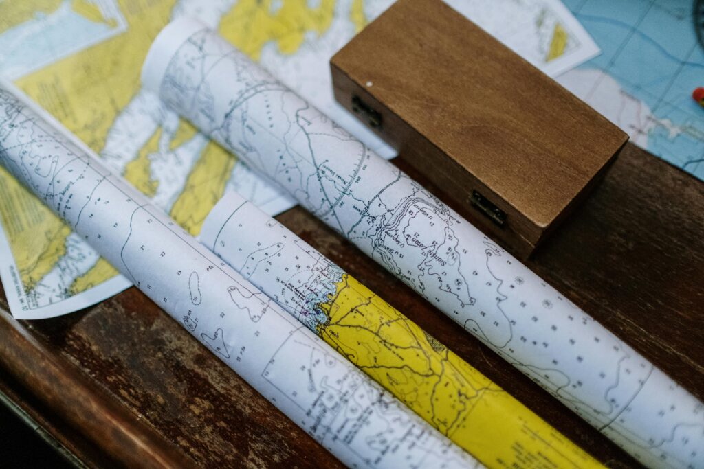
Mapping:
At its core, GIS is all about making maps. But these aren’t your ordinary paper maps; they’re dynamic, interactive representations of data layered onto geographic space.
From simple point maps to sophisticated 3D visualizations, GIS allows us to visualize spatial analysis patterns and relationships with ease.
Spatial Querying:
Ever wanted to find all the coffee shops within a 5-mile radius of your location? With GIS, it’s as easy as running a spatial query.
GIS tools enable us to extract and analyze data based on its spatial characteristics, whether it’s proximity, containment, or connectivity.
This helps us answer specific questions and make informed decisions based on spatial analysis context.
Spatial Analysis Statistics:
Numbers tell part of the story, but spatial statistics add a whole new dimension.
GIS software comes equipped with a range of statistical tools designed to analyze spatial patterns and relationships.
From hotspot analysis to spatial autocorrelation, these tools help us identify clusters, outliers, and trends that might otherwise go unnoticed.
Spatial Modeling:
Predicting the future isn’t just for fortune-tellers; it’s also for geographers armed with GIS.
Spatial modeling allows us to simulate real-world processes and explore “what-if” scenarios.
Whether it’s predicting the spread of wildfires or modeling sea level rise, GIS empowers us to anticipate and plan for future events with greater accuracy.
Why Students Should Learn GIS?
Practical Skills:
In today’s job market, GIS skills are in high demand across a wide range of industries, from urban planning to environmental management.
Learning GIS not only enhances your analytical and problem-solving abilities but also opens up a world of career opportunities.
Interdisciplinary Perspective:
GIS isn’t just for geographers; it’s for anyone curious about the world around them.
By integrating spatial analysis into various disciplines, such as sociology, biology, and economics, students gain a holistic understanding of complex issues and how they intersect with geography.
Empowerment:
GIS isn’t just a tool for professionals; it’s a tool for empowerment.
By equipping students with the knowledge and skills to analyze spatial data, we empower them to become informed citizens who can critically evaluate and contribute to discussions about our ever-changing world.
Conclusion:
Spatial analysis is more than just a buzzword; it’s a powerful tool for understanding the world around us.
Whether you’re a student exploring the mysteries of geography or a professional navigating the complexities of spatial data, GIS opens doors to new insights and discoveries.
So don’t be afraid to dive in, explore, and uncover the stories that lie hidden beneath the surface of our maps. With GIS, the possibilities are endless.