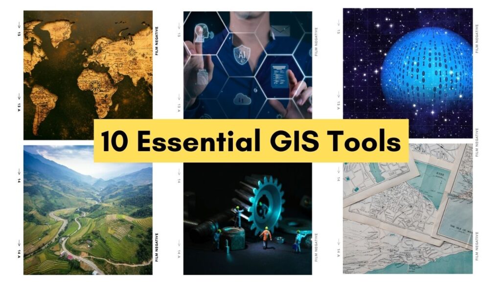
10 Essential GIS Tools Every Geographer Should Know
Introduction:
Geography is not just about knowing the names of countries and their capitals; it’s about understanding spatial relationships and patterns. Geographic Information Systems (GIS) have revolutionized the way geographers analyze, interpret, and visualize spatial data. Whether you’re a seasoned geographer or just starting out, mastering GIS tools can significantly enhance your ability to explore and understand the world around you. In this blog post, we’ll explore 10 essential GIS tools that every geographer should know.
ArcGIS:
ArcGIS is perhaps the most widely used GIS software in the world. Developed by Esri, it offers a comprehensive suite of tools for mapping, spatial analysis, and data management.
With ArcGIS, you can create stunning maps, perform complex spatial analyses, and share your findings with others.
QGIS:
QGIS is a free and open-source alternative to ArcGIS. It’s highly customizable and offers a wide range of features for mapping, spatial analysis, and data editing.
Whether you’re a student on a budget or a professional looking for a versatile GIS solution, QGIS is worth exploring.
Google Earth:
Google Earth allows you to explore the world in 3D, right from your computer or mobile device.
While it may not offer the same level of analytical capabilities as ArcGIS or QGIS, it’s a powerful tool for visualizing spatial data and gaining a better understanding of geographic features and phenomena.
GRASS GIS:
GRASS GIS is another open-source GIS software that’s popular among geographers and environmental scientists.
It offers advanced tools for spatial analysis, image processing, and geospatial modeling. If you’re interested in environmental or landscape analysis, GRASS GIS is worth checking out.
GeoDa:
GeoDa is a free and open-source software designed specifically for spatial data analysis and visualization. It’s particularly useful for exploring patterns of spatial autocorrelation, clustering, and spatial heterogeneity.
Whether you’re studying urban sprawl or regional disparities, GeoDa can help you uncover hidden spatial relationships.
Carto:
Formerly known as CartoDB, Carto is a cloud-based GIS platform that makes it easy to create interactive maps and analyze spatial data online.
With Carto, you can upload your own data, style it to your liking, and share your maps with others. It’s a great tool for visual storytelling and data-driven decision-making.
Leaflet:
Leaflet is a lightweight and mobile-friendly JavaScript library for creating interactive maps on the web.
It’s easy to use, highly customizable, and supports a wide range of basemaps and overlays.
Whether you’re building a website for a local business or a global nonprofit, Leaflet can help you integrate dynamic maps into your web applications.
Mapbox:
Mapbox is a powerful mapping platform that offers APIs, SDKs, and developer tools for building custom mapping solutions.
Whether you’re developing a mobile app, a web-based dashboard, or a virtual reality experience, Mapbox provides the building blocks you need to create stunning and interactive maps.
PostGIS:
PostGIS is a spatial database extension for PostgreSQL, a powerful open-source relational database management system.
It adds support for geographic objects and spatial functions, allowing you to store, query, and analyze spatial data within a familiar SQL environment.
If you’re working with large datasets or need to perform complex spatial queries, PostGIS is an invaluable tool.
R and Python with Geospatial Libraries:
Last but not least, R and Python are two popular programming languages used by geographers for data analysis and visualization.
Both languages offer a variety of geospatial libraries, such as sf and geopandas, that make it easy to read, write, and manipulate spatial data.
Whether you’re conducting statistical analysis or building predictive models, R and Python provide the flexibility and power you need to tackle complex geospatial problems.
Conclusion:
Whether you’re a student just beginning your journey in geography or a seasoned professional looking to expand your skillset, mastering GIS tools is essential for success in the field. From mapping and spatial analysis to data visualization and modeling, the tools mentioned in this blog post offer a wealth of capabilities for exploring and understanding the world around us. So don’t be afraid to dive in, experiment, and discover the endless possibilities that GIS has to offer!